
Plaetje:Philippines adm location map.svg

Oearsprunkelik bestandj (SVG-bestandj, nominaal 1.871 × 2.467 pixels, bestandsgruutde: 719 kB)
Besjrieving
| Besjrieving |
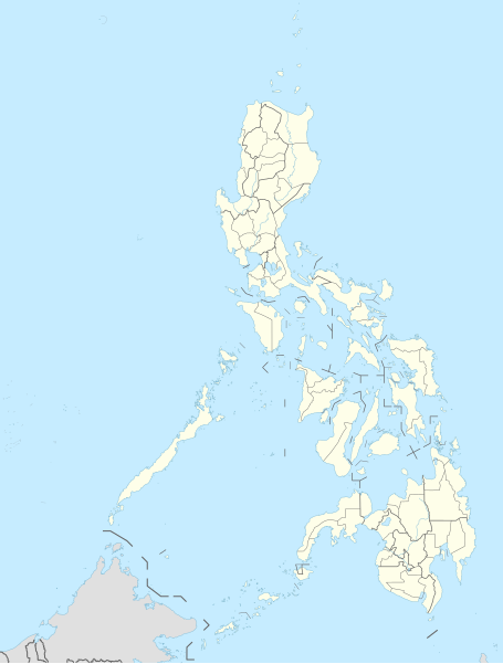
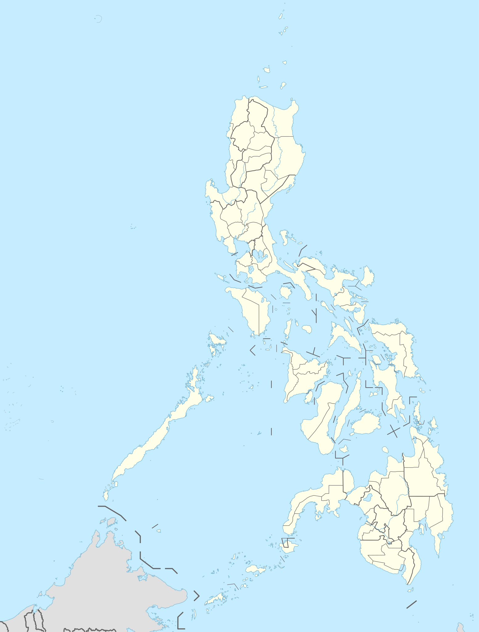
Deutsch: Positionskarte der Philippinen
English: Location map of the Philippines
|
||||||||||||
| Datum | |||||||||||||
| Brón |
Own work using:
|
||||||||||||
| Sjriever | NordNordWest | ||||||||||||

|
Deze kaart is gemaakt of verbeterd in de Duitse Kartenwerkstatt (Map Lab). Je kunt ook zelf kaarten ter verbetering voorstellen.
|
Licentie:
Usage of this file with:

explanatory notes: Legally binding is only the full legalcode. For a free usage I recommend to respect the following licence conditions:
1. Provide my name as given above: NordNordWest,
2. a copy of, or the URI for, the applicable license: https://creativecommons.org/licenses/by-sa/3.0/de/legalcode,
3. the title of the work,
4. in the case of an adaptation, a credit identifying the use of the work in the adaptation.
This license and the rights granted hereunder will terminate automatically upon any breach by you of the terms of this license. Any of the above conditions can be waived if you get permission from the copyright holder. If you have questions or wish differing conditions, please contact me through nnwest or my discussion page ![]() t-online.de
t-online.de
- De maags:
- deile – aafsjrieve, verspreie en dórchgaeve
- hèrminge – 't wèrk aanpasje
- Óngere volgendje veurwaerj:
- Attribuusje – Geer mótj op 'n gepasdje meneer 'n naamsvermeljing make, 'ne link nao de licentie opgaeve, en aangaeve of g'r 't werk verangerd höb. Geer moog dit op eder raejelike meneer doon, meh neet zoea det 't liek ofwen de licentiegaever instump mit eur werk of eur gebroek van zie werk.
- Deil gliek – Went geer dit werk geremix, verangerd of doorverwirk höb, mótj geer 't verangerd matterjaal verspreie ónger dezelfde licentie wie 't oersjprunkelik werk, of 'n licentie die daomit samegeit.

Besjtandjshistorie
Klik op 'ne datum/tied om 't besjtand te zeen wie 't destieds waor.
| Datum/tied | Miniatuurplaetje | Aafmaetinge | Gebroeker | Opmirking | |
|---|---|---|---|---|---|
| hujig | 30 nov 2023 21:10 | | 1.871 × 2.467 (719 kB) | NordNordWest | corr |
| 30 nov 2023 21:03 |  | 1.871 × 2.467 (719 kB) | NordNordWest | upd 2022 | |
| 13 mei 2016 22:19 |  | 1.871 × 2.467 (719 kB) | NordNordWest | == {{int:filedesc}} == {{Information |Description= {{de|1=Positionskarte der Philippinen}} {{en|1=Location map of the Philippines}} {{Location map series N |stretching=103 |top=21.2 |bottom=4.3 |left=114.1 |right=127.3 }} |Source={{Own using}} * United... |
Bestandjsbroek
Gein inkel pagina gebroek dit plaetje.
Globaal besjtandjsgebroek
De volgende anger wiki's gebroeke dit bestandj:
- Gebroek in ceb.wikipedia.org
- Leyte (pulo)
- Sidlakang Samar
- Misamis Occidental
- Poro, Sugbo
- Ormoc
- Calbayog
- Tacloban
- Bontoc, Habagatang Leyte
- Padre Burgos, Habagatang Leyte
- Daram, Samar
- Maasin
- Salcedo, Sidlakang Samar
- Alcantara, Sugbo
- San Antonio, Amihanang Samar
- San Roque, Amihanang Samar
- Zumarraga, Samar
- Ajuy, Iloilo
- Tigbauan, Iloilo
- Mabini, Bohol
- Inabanga, Bohol
- Anda, Bohol
- Balamban, Sugbo
- Lazi, Siquijor
- Maria, Siquijor
- Siquijor, Siquijor
- Catmon, Sugbo
- Madridejos, Sugbo
- Tabogon, Sugbo
- Tabuelan, Sugbo
- Batanes
- Habagatang Upi
- Mapun
- Habagatang Ubian
- Turtle Islands, Tawi-Tawi
- Talakag, Bukidnon
- La Carlota
- Himamaylan
- Leon B. Postigo
- Jose Abad Santos, Davao Occidental
- Governor Generoso, Davao Oriental
- Dakbayan sa Iloilo
- Bantayan (pulo)
- Dakbayan sa Sugbo
- Malaybalay
Bekiek wikiwied gebroek van dit bestandj.