
Plaetje:Map of Peninsular Malaysia with third-level administrative divisions.svg

Aafmaetinge van dees veurbesjoewing van 't type PNG van dit SVG-bestandj: 544 × 600 pixels Anger resoluties: 218 × 240 pixels | 435 × 480 pixels | 696 × 768 pixels | 928 × 1.024 pixels | 1.857 × 2.048 pixels | 739 × 815 pixels.
Oearsprunkelik bestandj (SVG-bestandj, nominaal 739 × 815 pixels, bestandsgruutde: 9,24 MB)
Besjrieving
| Besjrieving |
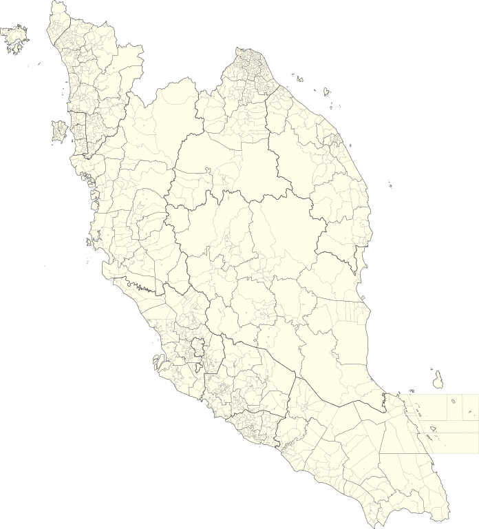
English: Map of Peninsular Malaysia with third-level administrative divisions (Mukim/Bandar/Pekan) |
| Datum | |
| Brón | [1] via Unique Parcel Identifier (UPI) |
| Sjriever | Unique Parcel Identifier (UPI) |
Licentie:
Dit bestand is gelicenseerd onder de Creative Commons Naamsvermelding-GelijkDelen 4.0 Internationaal licentie.
- De maags:
- deile – aafsjrieve, verspreie en dórchgaeve
- hèrminge – 't wèrk aanpasje
- Óngere volgendje veurwaerj:
- Attribuusje – Geer mótj op 'n gepasdje meneer 'n naamsvermeljing make, 'ne link nao de licentie opgaeve, en aangaeve of g'r 't werk verangerd höb. Geer moog dit op eder raejelike meneer doon, meh neet zoea det 't liek ofwen de licentiegaever instump mit eur werk of eur gebroek van zie werk.
- Deil gliek – Went geer dit werk geremix, verangerd of doorverwirk höb, mótj geer 't verangerd matterjaal verspreie ónger dezelfde licentie wie 't oersjprunkelik werk, of 'n licentie die daomit samegeit.
Besjtandjshistorie
Klik op 'ne datum/tied om 't besjtand te zeen wie 't destieds waor.
| Datum/tied | Miniatuurplaetje | Aafmaetinge | Gebroeker | Opmirking | |
|---|---|---|---|---|---|
| hujig | 10 jul 2021 07:26 | | 739 × 815 (9,24 MB) | Zh9567 | Uploaded a work by [https://mygos.mygeoportal.gov.my/upi/ Unique Parcel Identifier (UPI)] from [https://github.com/justinelliotmeyers/Malaysia_Official_Boundaries_2021] via [https://mygos.mygeoportal.gov.my/upi/ Unique Parcel Identifier (UPI)] with UploadWizard |
Bestandjsbroek
Gein inkel pagina gebroek dit plaetje.
Globaal besjtandjsgebroek
De volgende anger wiki's gebroeke dit bestandj:
- Gebroek in en.wikipedia.org
- Gebroek in id.wikipedia.org
- Gebroek in ms.wikipedia.org
- Gebroek in zh.wikipedia.org